
Portugal
Porto
A steep river city where trade, wine, bridges and daily movement are still organised around the Douro.
Porto is often introduced through one postcard view: Ribeira below, the Douro in the middle and Vila Nova de Gaia opposite. The image is beautiful, but it becomes more useful once the parts are connected. The river carried trade, the slopes shaped movement, the south bank stored wine and the bridges turned a difficult geography into an urban system.
The Douro is the city’s working line
The Douro cuts through steep terrain before reaching the Atlantic, and Porto grew around that geography. The river was historically a transport route for the wine trade: barrels from the Douro Valley travelled downstream, traditionally on rabelo boats, toward the cellars at Gaia. This history helps explain why the waterfront feels both ceremonial and practical. The river is not simply something Porto faces; it is one of the systems through which the city became economically connected to a much larger region.
The opposite bank is part of the story
Vila Nova de Gaia sits opposite Porto, but historically the two banks worked together. Port wine arriving from the valley was aged, blended and stored in the cellars along Gaia’s riverfront. The line of lodges therefore belongs to the same urban economy as Ribeira across the water. Looking from one bank to the other turns the river from a boundary into a connection: production inland, storage on one side, commerce and city life on the other.
A bridge that explains the terrain
Dom Luís I Bridge is useful because it makes Porto’s vertical geography immediately visible. Designed by Théophile Seyrig and opened in 1886, its two levels connect Porto and Gaia at different heights. The lower crossing belongs to the riverfront; the upper deck connects the higher city and now carries metro as well as pedestrians. The bridge is therefore more than an industrial-age landmark. It shows the practical problem Porto has always had to solve: how to connect two steep banks without flattening them.
Trade became architecture
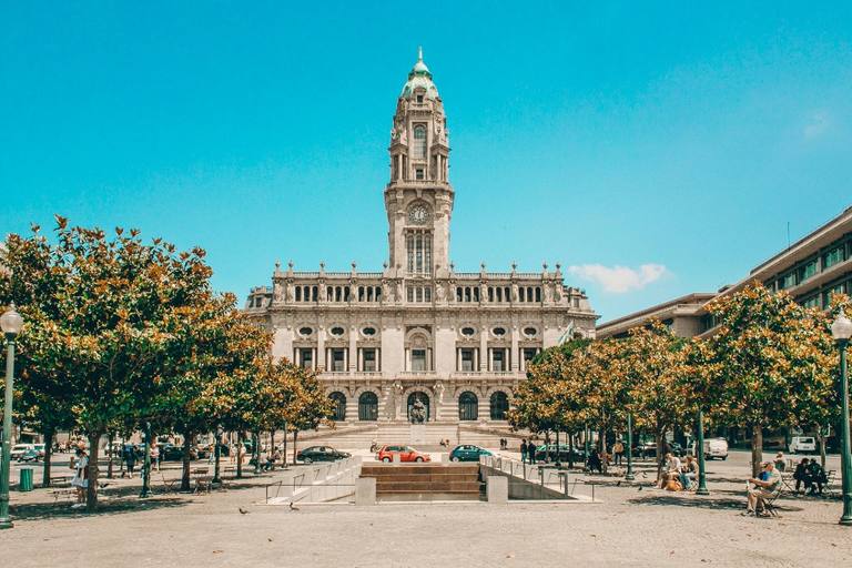
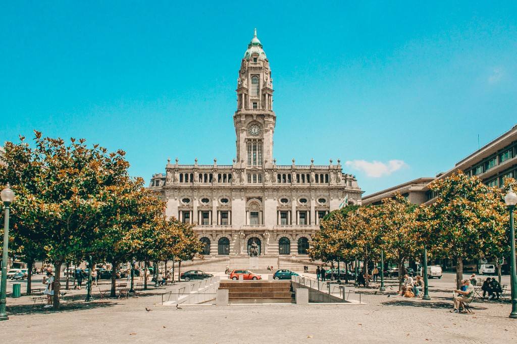
Porto’s commercial history appears in buildings far above the quay. Palácio da Bolsa was created by the city’s Commercial Association and still reads as a statement of nineteenth-century mercantile confidence. São Bento Station uses large azulejo panels to turn a transport interior into a historical narrative. Clérigos Tower, rising above the centre, provides another scale entirely. Together these places show a city in which commerce, infrastructure and representation often occupy the same streets.
The city is still lived at street level
It is easy for Porto’s river panorama to dominate the visit, but the upper city matters just as much. Markets such as Bolhão, shopping streets, neighbourhood cafés and the constant movement between levels keep the historic centre from functioning only as a scenic backdrop. The steepness slows walking, but it also produces short views, unexpected openings and repeated shifts between monumental and ordinary spaces.
A small perspective
A reading, not a historical claim.
Porto becomes clearer when you cross the river and climb back up. From Ribeira, look toward the cellars; from Gaia, look back at the stacked city; from the upper deck of Dom Luís I, notice how many levels have to work together for one urban landscape to exist.