

Culture
Why can’t Porto be understood without the Douro?
The Douro is not the view beside Porto. It is the working geography that connected the city with the wine valley, Gaia’s cellars, Atlantic trade and the bridges that still organise movement today.
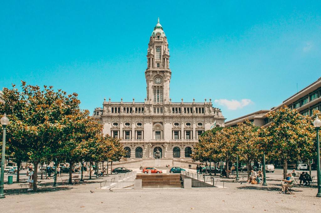
Porto’s most familiar image is almost always made from the same pieces: Ribeira, the Douro, Dom Luís I Bridge and the cellars of Vila Nova de Gaia on the opposite bank. Because the composition is so photogenic, it is easy to read the river as scenery. Historically, the opposite is closer to the truth. The scenery exists because the river worked — carrying goods, shaping slopes, organising storage and forcing the city to solve the problem of connection.
The river connected Porto to a region much larger than the city
The Douro reaches Porto after passing through the wine-producing valley inland. For centuries, the river was one of the practical routes linking that landscape with the Atlantic-facing city at its mouth. Trade therefore connected Porto’s urban economy with vineyards far upstream.
This relationship is especially visible in the history of Port wine. Wine travelled downriver toward the warehouses and lodges of Vila Nova de Gaia, where it could be stored and aged before entering wider commercial networks.
Thinking in that direction — valley to river to Gaia to Atlantic trade — makes Porto feel less like an isolated historic centre and more like the visible end of a long economic landscape.
Why the wine cellars are on the other bank
Vila Nova de Gaia is a separate city on the south bank, but its wine lodges are inseparable from Porto’s historical image. VisitPortugal notes that Gaia’s prosperity grew strongly with the eighteenth-century development of Port wine lodges, where wine brought by barcos rabelos was left to age.
That geography creates a useful correction. The Douro does not simply ‘split Porto in two’; it separates Porto from Gaia while linking the two places through a shared commercial history. One bank cannot explain the postcard without the other.
The rows of lodge names facing Ribeira are therefore more than branding. They are traces of a system in which production, transport, storage and export occupied different parts of the same river landscape.
The Douro looks like a boundary on the map. Porto’s history often makes more sense when it is read as a connection.
Rabelo boats belonged to work before nostalgia
The traditional barcos rabelos are now among the most photogenic objects on the river, but their historic role was practical. They carried wine barrels from the Douro Valley toward Gaia before modern transport changed the system.
This is a recurring pattern in old port cities. Objects once designed for difficult labour later become symbols of place. The risk is that the picturesque image erases the work that created it.
Seeing a rabelo as transport rather than decoration reconnects the waterfront with the valley upstream — and reminds us that Porto’s identity was built through movement, not only architecture.
The bridge solves a vertical city
Dom Luís I Bridge does more than cross water. Designed by Théophile Seyrig and opened in 1886, its two levels connect Porto and Gaia at different heights. The lower crossing belongs to the riverfront; the upper deck joins the higher parts of the urban landscape.
That two-level solution explains Porto’s topography better than many viewpoints do. The banks rise sharply, so connection is not simply a question of getting from left to right. It is also a question of height.
Standing on the upper deck, the famous panorama becomes a diagram: Ribeira below, Gaia opposite, the river between them and streets climbing away on both sides.
The postcard came after the working river
Today the Douro is experienced through cruises, viewpoints, restaurants and photographs. None of that makes the modern river less real. It simply means its role has changed.
The useful historical habit is to keep the older functions visible underneath the contemporary image. The wine lodges were storage infrastructure before they were attractions; rabelos were transport before they were symbols; the bridge was a connection problem before it was a skyline icon.
Porto becomes richer when the beautiful view is treated as the visible result of those practical relationships rather than as something that appeared fully formed.
Related
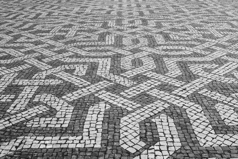
Why are Lisbon’s pavements black and white?
Calçada Portuguesa turns paving into a craft. Small pieces of stone, laid by hand, create patterns that have become part of the visual language of Lisbon and other Portuguese cities.
Read →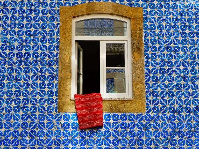
Why is Lisbon covered in tiles?
Azulejo is more than decoration. Over centuries, glazed tiles became part of Portugal’s architectural language — sometimes geometric, sometimes narrative, and still very much present in Lisbon’s everyday streets.
Read →
Is saudade enough to understand fado?
Fado and saudade are often placed side by side, as if one word could explain an entire musical tradition. Saudade helps — but Lisbon’s fado is also a performance, an urban history and a way of turning ordinary experience into song.
Read →