

History
One peninsula, two different stories
Portugal and Spain share geography, long stretches of history and many cultural layers. What they do not share is one national story. Their differences make more sense when we look at how each political centre formed, expanded and remembered itself.

On a map, Portugal and Spain can look almost too easy to group together: one peninsula, one long border, related languages and many centuries of shared Roman, Visigothic, Islamic and Christian history. Travel across that border, however, and the differences accumulate quickly. The useful explanation is not national personality. It is history: political centres separated, languages standardised along different routes, empires looked in different directions and even periods of union did not erase separate institutions.
First, the shared ground: Iberia
Both countries sit inside a peninsula whose history predates either modern nation. Roman rule connected much of Iberia through roads, law and Latin. Visigothic kingdoms followed. From 711 onward, Muslim states controlled large parts of the peninsula for centuries, although their borders and political organisation changed repeatedly.
This shared past explains many similarities: related Romance languages, comparable layers of Roman and Islamic heritage, some architectural forms, agricultural traditions and long histories of Christian kingdoms expanding south. But shared layers do not produce identical outcomes. The western and central-eastern parts of the peninsula developed different political trajectories.
Portugal separated early — and stayed separate
The Portuguese kingdom emerged from the political world connected to León, then consolidated a separate monarchy during the twelfth century. Its southward Reconquista was effectively completed in the Algarve by the mid-thirteenth century, much earlier than the final Christian conquest of Granada in 1492.
That earlier territorial consolidation gave the western kingdom a relatively clear political frame while much of the rest of what would become Spain remained divided among major crowns, especially Castile and Aragón. Portugal and its larger neighbour would compete, intermarry, negotiate and occasionally share a monarch, but Portuguese statehood developed as its own long-running project.
This is one reason the border matters even when the landscapes on either side can look similar. A line on the map came to organise separate courts, institutions and historical memories.
Spain did not begin as one simple centre either
It is equally misleading to imagine Spain as a single kingdom that simply grew until it filled the peninsula. Castile, Aragón and other realms had their own institutions, economies and political traditions. The dynastic union of Isabella of Castile and Ferdinand of Aragón brought two major crowns together without instantly making every region culturally or legally identical.
That older plurality remains visible today in regional languages, legal traditions and strong local identities. Castilian became the dominant state language, but Catalan, Galician, Basque and other linguistic traditions remind us that “Spain” contains several historical centres.
Comparing Portugal with “Spain” therefore requires a little care. One side became a separate kingdom relatively early; the other side eventually became a composite monarchy built from several major political traditions.
Neighbourhood creates similarities. It does not create the same history.
Related languages, different histories
Portuguese and Castilian Spanish are both Romance languages, shaped from spoken Latin and centuries of contact with other languages. Their closeness is obvious, especially in writing, but each developed within a different political and cultural geography.
Portuguese grew out of the Galician-Portuguese linguistic world of the northwest before becoming the language of an independent kingdom. Castilian developed in the central-northern Christian kingdoms and later expanded with the political power of Castile. Neither language is simply a variation of the other.
The comparison becomes more interesting once we stop asking which is “closer to Latin” or which sounds more familiar. Language here is also a map of where political power, literature and administration moved over time.
Two empires, not one shared maritime story
In 1494, the Treaty of Tordesillas attempted to divide newly claimed overseas zones between the Portuguese and Castilian crowns. The line was abstract, disputed and ignored by other European powers, but it captures something important: the two Iberian monarchies were already thinking globally as competitors.
Their imperial geographies then developed differently. Portugal built a network that emphasised Atlantic islands, the African coast, Brazil and routes toward the Indian Ocean and Asia. The Spanish monarchy became especially powerful in the Americas while also remaining deeply involved in European and Mediterranean politics.
These are broad patterns rather than neat divisions, but they helped shape Lisbon, Seville, Madrid, Cádiz and many other cities in different ways. Sharing an ocean did not mean building the same imperial world.
1580–1640: one monarch did not mean one country
The Iberian Union is one of the best reminders that political history is rarely as simple as modern borders suggest. From 1580 to 1640, the crowns of Portugal and Spain were held by the same Habsburg monarchs.
Portugal, however, retained its own laws, administration and many institutional structures. The union was dynastic rather than a complete absorption of Portugal into a single Spanish state. In 1640, a Portuguese revolt restored a separate monarchy; Spain formally recognised Portuguese independence after the subsequent conflict.
For a traveller, this is a useful detail. The two countries have been rivals, allies, relatives and for sixty years subjects of the same monarch — without ever becoming the same historical story.
A better way to compare them
Portugal and Spain are often sold together because the geography is convenient. There is nothing wrong with travelling that way. The problem begins when the peninsula is flattened into one image of sunny squares, tiled façades, tapas, fado and flamenco.
A more useful comparison starts with details: how a city faces a river, how public space is used, which language appears on a sign, what historical period a monument is remembering, and which centre once controlled the route you are following.
The countries become more connected, not less, when their differences are allowed to remain visible.
Related
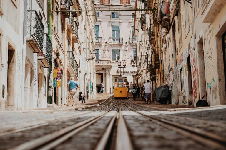
Why did Lisbon become a different city after 1755?
The earthquake, fires and tsunami of 1 November 1755 devastated Lisbon. The reconstruction that followed did something equally lasting: it changed the way the lower city was planned, built and walked.
Read →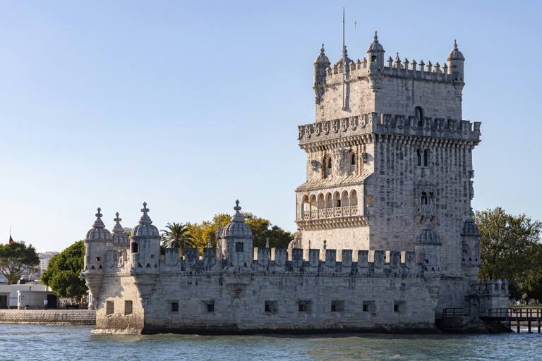
Why is Belém Lisbon’s memory of the sea?
At Belém, Lisbon’s maritime expansion became architecture. The monastery, tower and later monuments tell not only how Portugal went to sea, but how those voyages were remembered — and what that memory leaves out.
Read →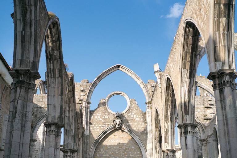
Why is Carmo still roofless?
Carmo’s open Gothic arches look like a deliberate memorial to the earthquake of 1755. The real story is more interesting: reconstruction began, stopped in 1834 and was later abandoned in an age that had learned to value ruins themselves.
Read →