

Places
Why do the Alhambra and Albayzín face each other in Granada?
The famous view across Granada is not a staged composition. The Alhambra and Albayzín occupy two neighbouring hills separated by the Darro — a palatine city and a residential city that still explain one another.
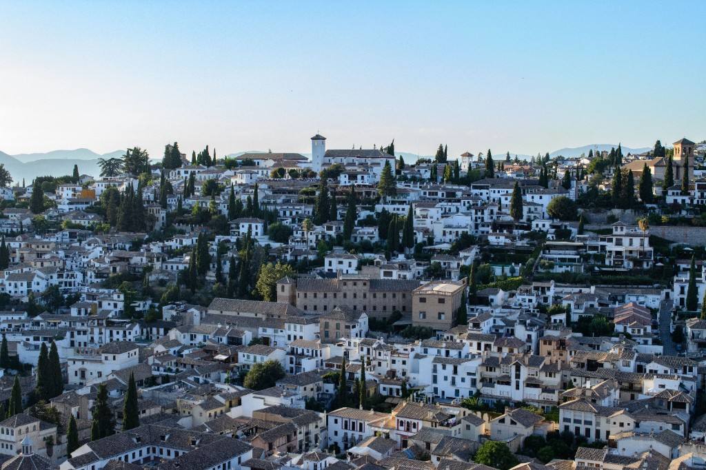
From Mirador de San Nicolás, the Alhambra seems almost deliberately placed for the view: a long red fortress and palace complex stretched across the opposite hill, with the Sierra Nevada beyond it. The composition is so convincing that it is easy to imagine the two sides were designed as a pair. They were not. Their relationship comes from Granada’s geography and from two different forms of medieval urban life growing across the Darro from one another.
Two adjacent hills, two different urban roles
UNESCO describes the Alhambra and Albayzín as two complementary medieval urban realities on adjacent hills separated by the Darro. That distinction is a useful starting point. The Alhambra developed as a fortified palatine city: a place of rule, residence, administration, service and defence.
Albayzín, by contrast, preserves the character of a residential urban district. Its narrow streets, small squares, houses and neighbourhood-scale infrastructure represent the everyday city more directly than the ceremonial world of the Nasrid court.
Looking across the valley therefore means looking from one type of city toward another. The visual relationship is dramatic, but the historical relationship is more interesting.
The Darro separates them — and explains them
Between the two hills, the Darro runs through a narrow valley. The river is visually modest compared with the architecture above it, yet the terrain it occupies helps explain why both hills developed the way they did.
The Alhambra’s elevated position offered defence and control, while Albayzín grew as a dense urban fabric on the opposite slope. Paths, water systems, gates and routes had to negotiate height rather than ignore it. Granada’s medieval form therefore cannot be separated from topography.
The famous viewpoint works because it compresses that topography into one frame. What looks like a beautiful background relationship is actually a map of how the city used its terrain.
From San Nicolás, you are not only looking at a palace. You are looking across from one medieval city to another.
The Alhambra was more than a palace
Calling the Alhambra a palace is convenient but incomplete. UNESCO describes it as a palatine city, and that term changes the scale. Defensive structures, royal residences, service areas, gardens and infrastructure worked together as an urban system.
Water was part of that system. The hydraulic engineering of the Alhambra and Generalife made productive gardens, courtyards and fountains possible. In the palaces, water could cool, reflect, divide space and mark movement; outside them, it was also practical infrastructure.
This matters when looking from Albayzín. The long silhouette across the valley is not the outline of one building. It is the edge of a complex political landscape.
Albayzín explains what the palace cannot
A court complex can tell us a great deal about power, ceremony and elite taste. It tells us less about the scale of ordinary residential life. Albayzín supplies that missing dimension through its street pattern and houses.
UNESCO highlights the neighbourhood’s medieval town plan, narrow streets and small squares, as well as the way later Christian Renaissance and Baroque contributions were absorbed into an older Islamic urban structure. The district survived not by remaining untouched, but by continuing to be inhabited and adapted.
That makes the view reciprocal. Albayzín gives context to the Alhambra, and the Alhambra gives political scale to Albayzín.
The best view is also a correction
Granada is often consumed through the Alhambra as a single masterpiece. Mirador de San Nicolás quietly corrects that habit. From there, the palace complex occupies only one side of the city’s medieval story.
The useful question is therefore not simply ‘where is the best Alhambra view?’ but ‘what becomes visible when the Alhambra is no longer filling the whole frame?’ The answer is Granada itself: neighbourhood, valley, mountain, palace and later city layered together.
Related
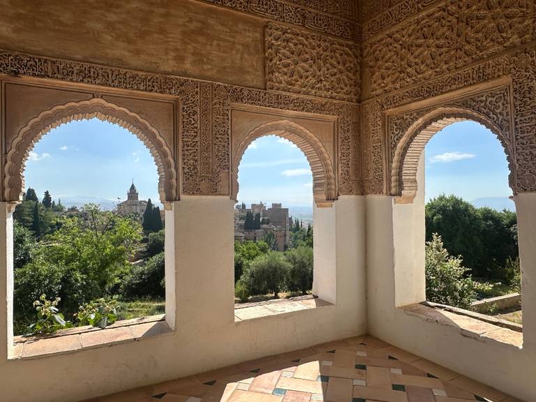
Why is Islamic heritage still so visible in southern Spain?
Córdoba, Seville and Granada preserve different layers of Al-Andalus. The legacy is visible not because one style survived unchanged, but because later cities kept building with, over and around what came before.
Read →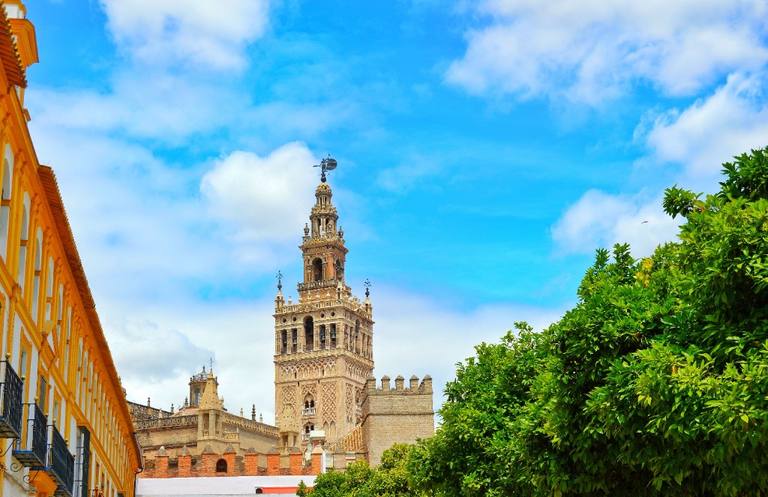
Giralda: how did a minaret become Seville’s symbol?
The Giralda did not survive by remaining unchanged. Its lower Almohad tower became part of a Christian cathedral, later gained a Renaissance bell stage and continued to define Seville’s skyline.
Read →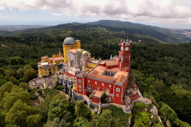
Why does Sintra look so different from the rest of Portugal?
Sintra’s strangeness is not the result of one colourful palace. Forested granite hills, older royal sites and nineteenth-century Romantic design were layered together until architecture and landscape became difficult to separate.
Read →